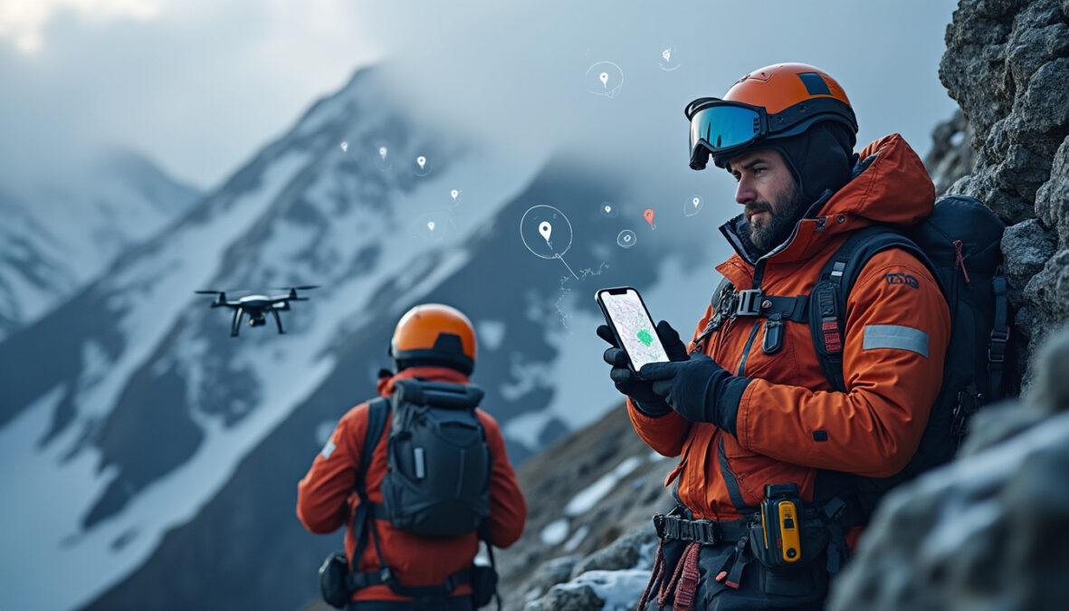
Digital tools can help with preparing for a hike, but they are no substitute for knowledge of the terrain or human judgment. Routes generated by artificial intelligence, GPS tracks followed without verification, and content shared on social media can lead hikers into dangerous areas. For rescue teams, these practices make prevention and rescue operations more challenging, sometimes in conditions that are already difficult.
Digital routes that don’t always account for the terrain
Navigation apps and artificial intelligence tools make it quick and easy to plan an outing. In moments, a hiker can get a suggested route, an estimated duration, or a track to follow. But these directions are not necessarily checked by someone who knows the area. A route presented as passable may actually cross exposed terrain, follow a deteriorated path, or lead to a different valley from the one intended.
An incident in the Pyrenees illustrates these limitations: two hikers lost their way after following a map created with the help of ChatGPT, which directed them to the wrong valley. This kind of situation is a reminder that a confident-sounding answer from a digital tool is no guarantee of reliability. Available data may be incomplete, imprecise, or misinterpreted, while actual conditions change with the weather, trail conditions, and any construction work or obstacles.
An automatically generated map can also create a misleading impression of precision. A route drawn on a screen looks easy to follow, but it does not always convey the gradient, technical difficulty, exposure, or the consequences of a wrong turn. In the mountains, a deviation of just a few hundred metres can be enough to leave someone above a cliff band or on a route unsuitable for their ability level.
When the GPS track overrides common sense
GPS helps people find their bearings, track their progress, and retrace a route. However, it becomes risky when used as an instruction to follow at all costs. A track saved or suggested by an app does not certify that a route is safe. It may come from another user, be outdated, or have been created without taking the difficulties of the route into account.
A case encountered by mountain rescue teams shows the possible consequences of blindly trusting a device. A teenager riding a mountain bike at night followed a GPS direction to meet up with friends. The track led him toward the cliffs above Lumbin and Crolles. He had to leave his bike behind and became stranded near a precipice in heavy rain. Rescue teams eventually evacuated him by helicopter at dawn, after he had spent the night in an extremely perilous situation.
A digital route does not always adapt to the reality on the ground. If the path disappears, the terrain becomes too steep, or visibility deteriorates, continuing simply because the screen points in that direction can make the danger worse. The displayed location alone does not indicate whether it is possible to proceed or whether a dangerous passage lies nearby.
Social media and the spread of spectacular routes
Social media also contributes to changing the way outings are chosen and planned. Attractive images or hiking stories can inspire people to visit a viewpoint, ridge, or little-used route. But a post rarely highlights all the constraints: the experience required, suitable equipment, weather conditions, or difficulty of access.
Presenting an outing in a few photos or videos can also downplay the risks. A passage may look easy when filmed in good conditions, but become tricky in rain, wind, fog, or snow. People discovering the route through a screen may not have all the information they need to assess what awaits them there.
A route’s popularity online is no guarantee of safety either. A widely shared track can attract hikers with very different abilities and equipment. If a route is unsuitable for some members of a group, difficulties may arise far from the starting point, when turning back is already complicated.
Rescue operations made more difficult for rescue teams
When someone gets lost or becomes stranded, rescue teams must quickly determine their location, understand how they ended up in that situation, and assess the dangers around them. An inaccurate digital track or a route taken off-trail can muddy the initial information. Coordinates sent by a phone are useful, but they do not necessarily show the safest way to reach the person or describe their immediate surroundings.
Mountain rescue also depends on conditions on the ground. Darkness, precipitation, wind, and terrain can slow the search and limit the available means of intervention. A wrong turn can therefore lead to a lengthy operation involving several specialists and sometimes aircraft. In some cases, rescuers must first locate the person, then choose a way to evacuate them that avoids putting both the person being rescued and the responders at greater risk.
Digital tools still provide valuable information. A GPS location, a planned route, or a message sent before losing signal can help teams direct their search. The problem arises when this information is considered infallible or when the person can no longer explain what route they followed and what they can see around them.
Planning your outing beyond the screen
Careful preparation involves checking a route against multiple sources and taking into account your ability level, the actual duration of the outing, and the forecast conditions. Maps and apps can serve as guides, but it is important to make sure the trail is suitable and that the planned route matches the terrain. Having a backup plan and knowing where it is possible to turn back also helps prevent you from continuing when conditions have become risky.
Your phone may lose signal, run out of battery, or become difficult to use in rain or cold weather. Bringing a suitable map and knowing how to read it means you won’t have to rely entirely on a screen. It is also helpful to keep enough battery for important communications and to share the main stages of your planned route with someone you trust, especially when an outing involves particular difficulties.
Finally, digital directions should always remain secondary to observation and judgment. If the terrain does not match the map, the route seems too difficult, or conditions deteriorate, you are not obliged to follow a track mechanically. In the mountains, knowing when to abandon a route or change your plans can prevent a situation that would require rescue teams to intervene.